Coromandel Peninsula Blueprint
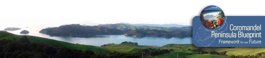
In 2008 and 2009, the Thames-Coromandel District Council, Waikato Regional Council, Department of Conservation and Hauraki Whaanui developed the Coromandel Peninsula Blueprint. They worked together to develop a spatial framework that was intended to manage the land, water and coast of Te Tara o te Ika a Māui/The Coromandel Peninsula, rather than leave it to chance or in the hands of others. They took into account the broader legislative and policy goals that had to be given effect to, and local community and iwi aspirations, together with feedback received during multiple engagement processes on a district-level framework.
The district-level framework aimed to:
- set out the priorities for the future of the Peninsula’s land, water and marine environments
- identify what those priorities would look like at the local and catchment levels.
The resulting Coromandel Peninsula Blueprint included the following key priorities and actions:
- concentrating development and focusing future services and infrastructure within three main urban hubs
- maintaining services and preserving the character of smaller centres and rural settlements
- improving the integrated management of catchments
- more control of rural/coastal subdivision
- protecting and enhancing biodiversity and landscape values
- fostering additional economic activity to provide more work opportunities within the district
- managing development and avoiding new development in hazard prone areas
Local Area Blueprints were then prepared to provide further spatial direction on managing growth and development at a local (catchment, settlement and harbour) scale.